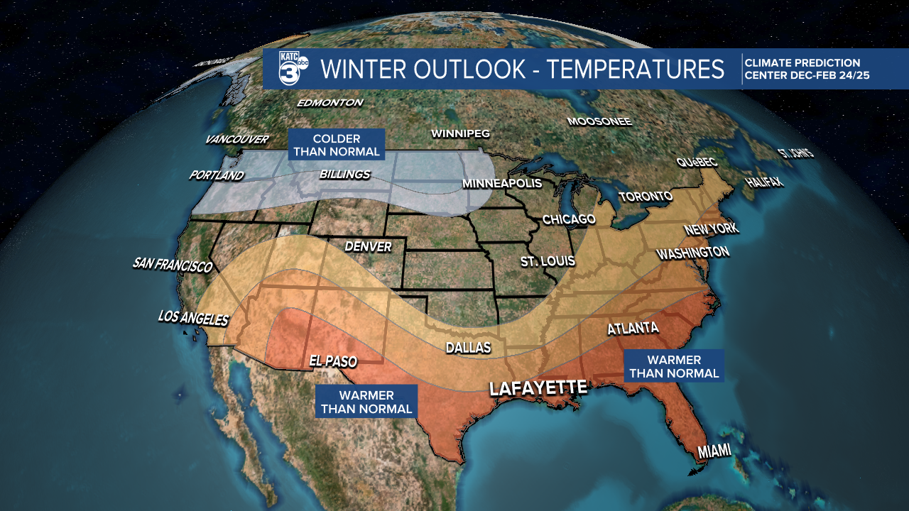
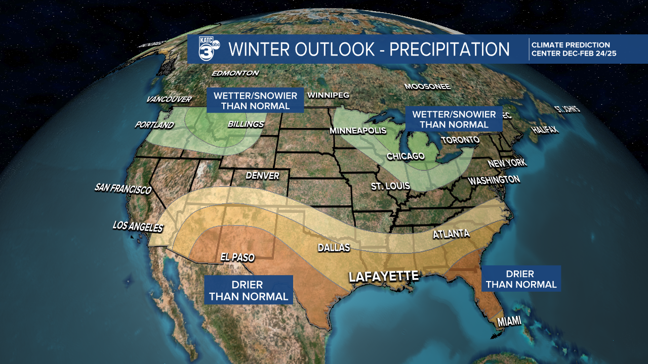
The winter outlook for the nation issued by NOAA last week is looking to keep the Gulf South and Louisiana drier and warmer than normal...but that doesn't mean it won't get cold at times.
But averaging our temperature and precipitation forecast from December through February, it appears that the recent dry and warm conditions observed over the last couple of months will continue into the winter.

Most recently, even with an occasional colder than normal December or January, our Februarys locally have been much above normal, diminishing the impacts of earlier cold outbreaks.
Spring-like temperatures are arriving earlier in Acadiana by nearly two weeks thanks to climate change per data from Climate Central.
And the new climate paradigm also has made for a wavier jet stream, that can bring anomalously cold air (chunks of the less stable polar vortex) to the region, and perhaps spark more winter severe weather events.
One caveat, as always, the NOAA forecast does not transmit the notion of when polar and arctic fronts will arrive or their intensity, so like the last handful of above normal winters in Acadiana, we could still see a shot or two of some very cold air as observed in recent years.

The winter outlook does not assess the area's chances of seeing winter precipitation, but the given forecast, the odds will be lower than the "usual" very low chances.
The main driving factor this winter is expected to be a continuation of weak La Nina conditions.
“This winter, an emerging La Nina is anticipated to influence the upcoming winter patterns, especially our precipitation predictions,” said Jon Gottschalck, chief of the Operational Prediction Branch of the Climate Prediction Center."
Read NOAA's full forecast outlook here.


