


Update regarding Tropical Storm Beryl and its impacts:
This weekend is the first full weekend of July. We can still expect afternoon showers and thunderstorms, which are typical during the summer months. Acadiana continues to experience triple-digit heat index values, but with the possibility of showers, temperatures and heat indices are expected to be slightly lower. It's important to stay hydrated and seek shade during peak heat hours to remain safe and comfortable.
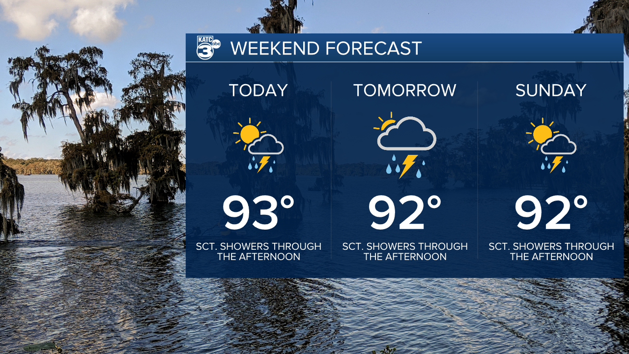
Rain chances today are up to 50%, becoming scattered to widespread in a few areas. Acadiana should have a brief break from the rain early this evening, with another round of showers moving in after midnight on Saturday. Not everyone will experience rainfall.

Hurricane Beryl has weakened to a category two hurricane after making landfall across the Yucatan Peninsula early this morning. Beryl has sustained winds at 100 mph with the 7 AM advisory moving towards the west-northwest at 15 mph.

After crossing the Yucatan, it's expected to transition into a tropical storm as it moves over the Gulf of Mexico. With the warm waters of the Gulf, Beryl can regain strength and become a category one hurricane before making landfall in either south Texas or northern Mexico.

Next week, there will be an increased chance of rain due to tropical moisture from Beryl and a weak trough in our area. Louisiana and the rest of the Gulf Coast can expect elevated tides and dangerous rip currents as the main impacts.
Stay updated on the latest alerts!
Follow Meteorologist Breyanna Lewis for further updates.
