


Acadiana will get a break from its record 17 consecutive 100° days along with noticeably lower humidity Wednesday...but after the coolest morning in months Thursday morning, 100°+ heat will return and likely will amplify again into this weekend.

In the near term, the tail end of a frontal trough will usher in lower dew points to the area Wednesday while keeping our high temperatures confined to the mid-upper 90s.
While we won't be pulling sweaters out of the closet, look for lows Wednesday morning to drop into the low-mid 70s for most, with some upper 60s possible across the northern Acadiana parishes.

Wall to wall sun and a cloudless sky is expected Wednesday with temperatures topping out near 98° in Lafayette...which will feel pretty good compared to the last two weeks, plus as the humidity will be low.

It should be even cooler Wednesday night into Thursday morning for most, with lows ranging from the 60s to the lower 70s...almost September-like!

Dry high pressure will build back into the region pushing the mercury again above 100° Thursday afternoon, with the opportunity for the heat to amplify into the weekend and challenge the all time record high for the month, which is 104° set on August 30, 2000.

In fact from Friday to Sunday, any one of those days may hit 105°, with Sunday the odds on favorite today.
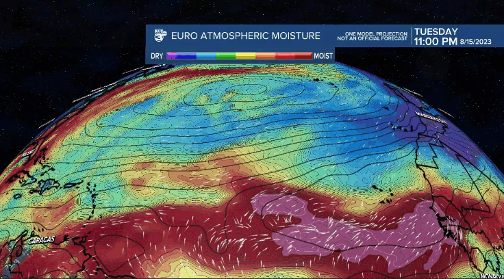
Changes may come though next week as a tropical tropical wave pushes westward across the Gulf and primarily toward Texas...we may get brushed by this system enough to lower temps a bit and more importantly give us a better shot at some rain.
But don't hold your breath on decent rain chances or a soaking yet.
After the possible wave early next week, it will be more high heat (102°+) toward the end of next week.
The pattern beyond the 10 day forecast does indeed look to change with more tropical waviness approaching from the east and less high pressure in the region...stay tuned!
------------------------------------------------------------
Stay in touch with us anytime, anywhere.
To reach the newsroom or report a typo/correction, click HERE.
Sign up for newsletters emailed to your inbox. Select from these options: Breaking News, Evening News Headlines, Latest COVID-19 Headlines, Morning News Headlines, Special Offers
