


Much needed periods of rain will continue across portions of Acadiana into Tuesday, with lingering clouds and seasonably cool temperatures expected to round out the week.
Fortunately the heaviest rain threat (upward of 10-15" or more!) will stay offshore south of the Louisiana Coast with the area of low pressure drifting from the southwest to the northeast, over the next few days where it may park for a day before moving on.

Periods of rain will become more scattered in nature Tuesday with activity expected to taper to 20% or less later Tuesday night into Wednesday.
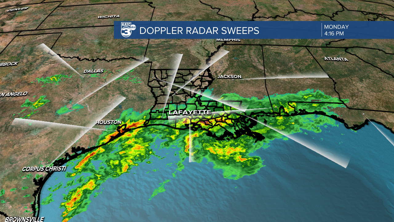
Power Doppler 3, Acadiana's doppler radar.
Rain totals from this event have been reduced from earlier outlooks as fortunately the flood threat will concentrate offshore.
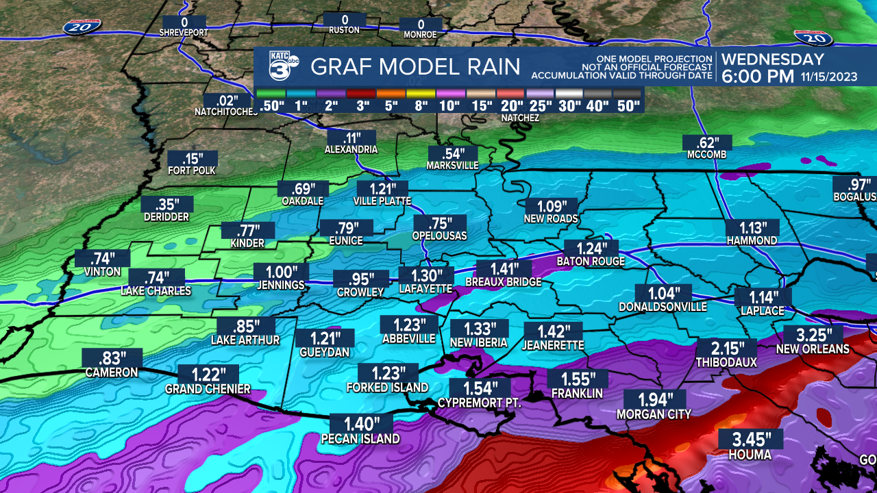
Expect additional rainfall of 1/2-1" or less north of the I-10 corridor, with 1-2" amounts more common south of the interstate.
Highest totals of up to 2-3 or 4" will be possible across the coastal parishes, especially for portions of St Mary.
Heaviest rains, in some spots more than 10", are expected to fall with this system primarily out in the Gulf of Mexico...and that's why our rain totals have been lower with most of the action with this system manifesting offshore in the form of gale conditions and heavy-duty storms.

Again widespread flooding and any severe weather is not a concern for the area at this time...although we may here some rumbles of embedded thunder Monday night.
It will remain breezy and seasonably cool over the next few days with lows in the upper 50s and highs in the lower 60s through Wednesday.
Lingering clouds will stay through the much of the week as temperatures begin to moderate a little by Friday.
By this weekend expect clearing skies and seasonable temperatures...very nice!

Our next-weather maker is expected to bring another good chance of rain, perhaps a chance at a soaking again, by early next week.
And finally, we're beginning to see a pattern, with rain systems likely to impact the area once a week through the rest of this month and more than likely into at least, early December.
See the KATC 10 Day Forecast for the latest and your Thanksgiving Forecast.
------------------------------------------------------------
Stay in touch with us anytime, anywhere.
To reach the newsroom or report a typo/correction, click HERE.
Sign up for newsletters emailed to your inbox. Select from these options: Breaking News, Evening News Headlines, Latest COVID-19 Headlines, Morning News Headlines, Special Offers
