


It will remain unsettled and mild across Acadiana through Thursday with a cold front scheduled to set-up a winter chill for the area this weekend.
In the near term, a fizzling frontal trough has become nearly stationary across the area allowing for mild temperatures and scattered mostly light rain shower activity that will likely continue overnight into early Wednesday.
And with winds decreasing for a bit after midnight, there will be the risk of some fog as milder Gulf air chills over our cooler coastal areas creating an environment for some low overcast clouds and some reduced visibility toward Wednesday morning.

Breezy conditions will return Wednesday under cloudy skies. Scattered showers might be possible at any time during the day, but will be most likely during the morning hours.
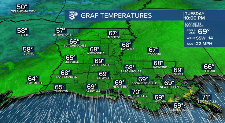
Temperatures will stay mild, in the mid-upper 60s overnight through Wednesday morning with highs for the afternoon likely to reach the mid-70s.
A more definitive frontal boundary accompanied by more robust upper support are expected to generate showers and thunderstorms across the area Thursday, especially earlier in the day.

Per the Storm Prediction Center (SPC) there may be a low end, marginal (level 1 out of 5) severe weather risk for Acadiana late Wednesday night into Thursday.

A few storms Thursday may contain strong/gusty winds...with more robust action, per usual, likely manifesting to our north.
Activity locally will end with cold frontal passage by Thursday afternoon or early evening.
Rain totals through Thursday for most will be in the 1/4-1/2" range with a few isolated spots possibly catching more than an inch in some of the heavier storms.

High temperatures Thursday may reach the mid-upper 70s but don't get used to it.
Following the mid-week mess, it looks seasonably cold and dry Friday into the weekend with highs in the lower 50s Friday, mid-upper 50s Saturday and back into the upper 60s Sunday.
Morning lows and temperatures for the parades this weekend will be cold with wind chill a likely factor Friday evening...less so for the Saturday day and evening parades.
The pattern looks to warm significantly early next week with breezy conditions likely Monday and Tuesday.
High temperatures for both Lundi and Mardi Gras look to soar into the upper 70s to perhaps lower 80s for Fat Tuesday.
See the KATC 10 Day Forecast for the latest.
------------------------------------------------------------
Stay in touch with us anytime, anywhere.
To reach the newsroom or report a typo/correction, click HERE.
Sign up for newsletters emailed to your inbox. Select from these options: Breaking News, Evening News Headlines, Latest COVID-19 Headlines, Morning News Headlines, Special Offers
