


While the fall equinox is just two days away, Acadiana's weather will feel more like July mid-summer form with highs in the mid- to possibly the upper 90s for the rest of the week into the weekend.
A strong ridge of high pressure has taken hold of the area allowing for mostly sunny skies, reduced rain chances with highs in the low-mid 90s over the last couple of days.

Expect more of the same, and as the atmosphere slowly dries out, afternoon high temperatures are anticipated to push into the mid-upper 90s, especially for northern portions of Acadiana.

As northerly winds take over, lower humidity should move into the region this week, with a surge of surface high pressure behind a very weak (and dry) frontal system Friday.
It is expected to stay quite hot into the weekend with a few showers possible into the Sunday/Monday time-frame ahead of a more robust cool front arriving Monday that should bring more pleasant weather to the area later next week.
For now it appears our temperatures will be a solid 8-10 degrees cooler behind the front with highs closer to the mid-upper 80s while nighttime/morning lows dip into the low-mid 60s.
See the KATC 10 Day Forecast for the latest.
It should get pretty breezy later next week as well as high pressure moves in from the north and low pressure (in the form of a possible hurricane) may be heading for the eastern Gulf of Mexico...
Which brings us to the more active tropics: Major Hurricane Fiona with 115 mph winds late Tuesday afternoon is expected to strengthen over the next couple of days to a Category 4 hurricane with up to 140 mph winds per the National Hurricane Center.

Fiona may bring at the very least tropical storm conditions to Bermuda Thursday might into Friday, and perhaps bring a fairly large blow to the Canadian Maritimes by this weekend when Fiona could still be a large and damaging storm.
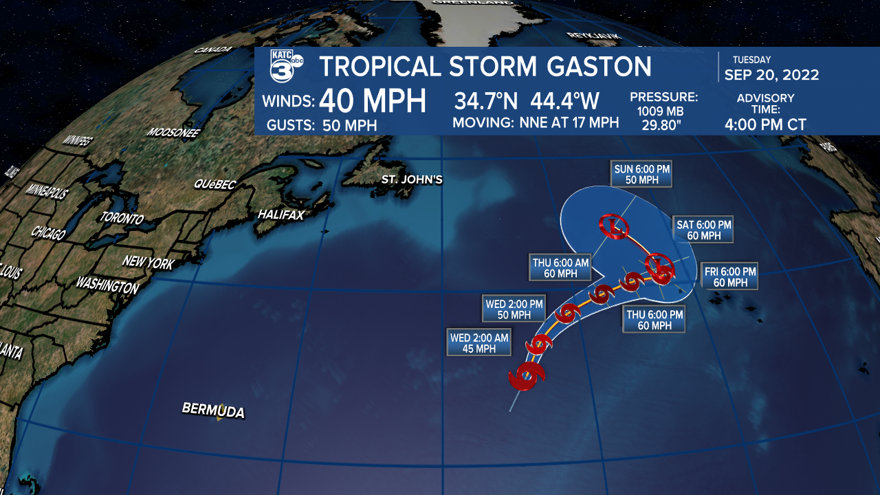
Farther northeast, a disturbance in the North Atlantic was upgraded to the 8th tropical depression of the season Tuesday morning with an upgrade to Tropical Storm Gaston Tuesday afternoon.
Gaston will likely be an unmemorable storm as it meanders in the open Atlantic over the next few days.
Farther south, disturbance 98L approaching the Eastern Caribbean, was upgraded to a high chance (80%) of development as it heads toward the Caribbean Sea.

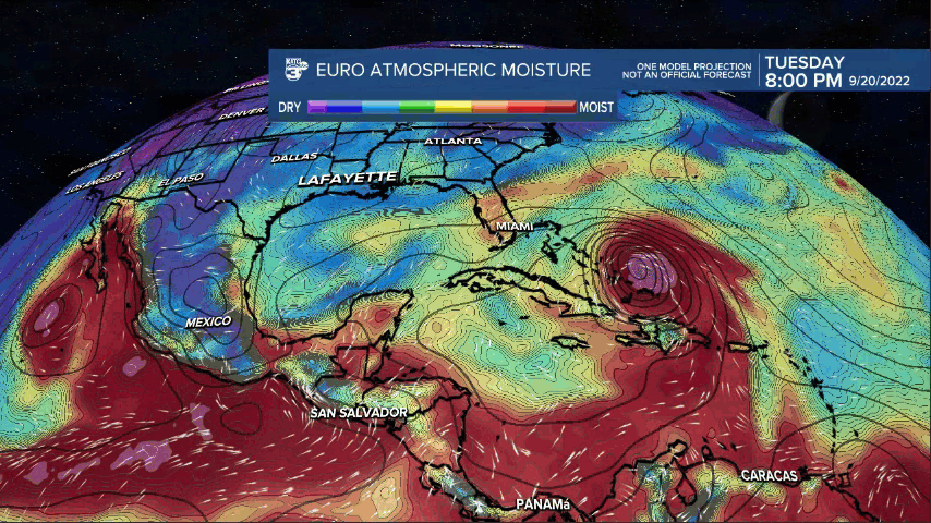
This system has been captured by both the longer range GFS & Euro models with a potential "significant" system approaching the Northwest Caribbean by the weekend into early next week.
From there both models show a potential hurricane entering the Southeastern Gulf by mid-next week.
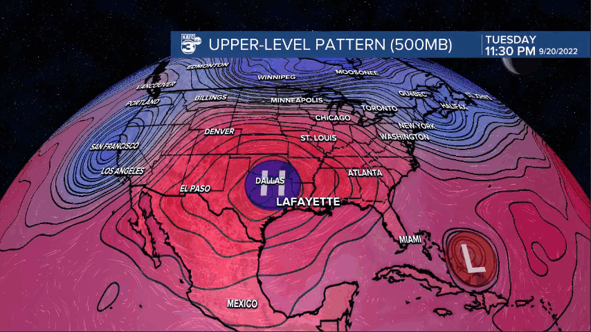
Thereafter, it appears there will be enough of an upper trough over the Eastern U.S. (associated with our aforementioned frontal boundary) next week that would draw any potential system northward (and not toward Louisiana)...so for today, the Eastern Gulf of Mexico and Florida are the most likely to be impacted by 98L.
However, tropical models beyond 5 days with a system that has yet to develop are much lower confidence forecasts, so changes in the outlook may certainly be possible.
------------------------------------------------------------
Stay in touch with us anytime, anywhere.
To reach the newsroom or report a typo/correction, click HERE.
Sign up for newsletters emailed to your inbox. Select from these options: Breaking News, Evening News Headlines, Latest COVID-19 Headlines, Morning News Headlines, Special Offers
