


Acadiana will see more high clouds and they will be thickening for the rest of the week ahead of an unsettled holiday weekend, with the prospects of soaking rains increasing for Christmas Eve.
In the near term, expect fair to partly cloudy skies and seasonably cool temperatures mostly in the low-mid 40s overnight into Thursday morning.

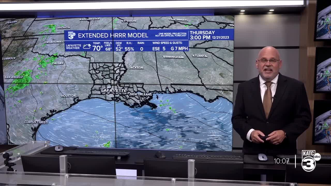
High clouds will become more prevalent for out Thursday with fewer intervals of some sun in between, and the same goes for Friday.

A few spotty brief and light showers will be possible starting Friday and continuing into Saturday (20-30% respectively) with high rain chances developing as early as Sunday morning.

Temperatures will continue to slowly moderate (especially overnight lows) into the weekend with highs in the upper 60s to lower 70s into the weekend.
A vigorous storm system in the West will energize the sub-tropical jet stream into Sunday (Christmas Eve) producing mostly rain during the day with some embedded, non-severe thunderstorms into Sunday night.

Rain chances Sunday into Sunday night will increase to near 90% but with any luck, the atmosphere dries out for Christmas Day, but not after a 2-3" soaking per our models and the Weather Prediction Center guidance.

It should be noted that weather systems of late, and typical of an El Niño winter pattern, that rain totals could exceed our guidance and current forecasts with more than 3" in a few spots.

Severe weather and widespread flooding are NOT expected at this time.

Clouds look to linger for Acadiana's Christmas Day with the risk of some lingering shower activity at daybreak, but it should be drier and mild for the afternoon, with even a few brief intervals of sun possible.
High temperatures for Christmas are expected to reach the low-mid 70s before a cooler atmosphere spills back into the region.
More high clouds but with cooler temperatures are expected Tuesday with fair skies and seasonably chilly temperatures anticipated to round out the mid-latter part of next week...and perhaps into the following weekend.
See the KATC 10 Day Forecast for the latest.
------------------------------------------------------------
Stay in touch with us anytime, anywhere.
To reach the newsroom or report a typo/correction, click HERE.
Sign up for newsletters emailed to your inbox. Select from these options: Breaking News, Evening News Headlines, Latest COVID-19 Headlines, Morning News Headlines, Special Offers
