


Fog is going to be the big issue over the next few mornings, with visibility expected to drop below a quarter of a mile.
It's already been laying in pretty thick across Acadiana Tuesday morning and Dense Fog Advisories have been issued for the area.
The sun should begin to emerge by mid morning, but until then please exercise some extra caution on those roads.

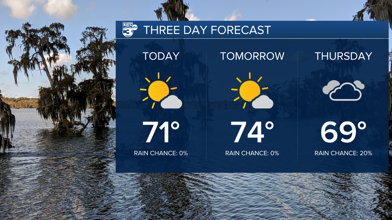
Once the fog burns off we'll be looking at plenty of sunshine for the remainder of the day and temperatures should jump into the 70s.
This will be the pattern for Wednesday as well, a round of morning fog followed by afternoon sunshine.
It does look like some cloud cover will briefly get in here on Thursday but it shouldn't produce much, if any, showers and sun will return by the weekend.
It continues to look like our next round of active weather will move through on Mardi Gras day.
It's still too early to speak with any specifics but if you're trying to come up with your Mardi Gras day plan it'll be something to monitor.
We'll obviously keep you up to date on any evolution with the forecast.
