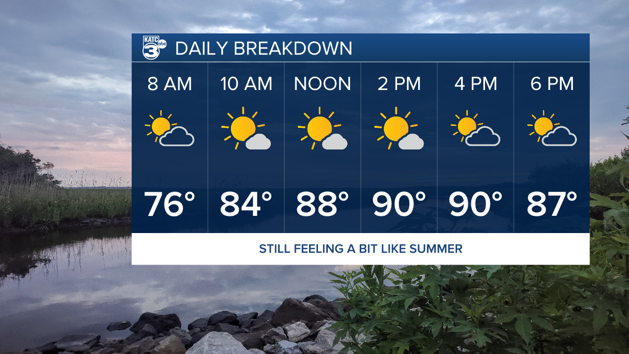
The late summer heat we got through the weekend has continued into the final week of September, although some slight relief may be on the way.
Temperatures will pick up right where they left off on Monday with highs in the lower 90s and the heat index nearing 100 with plenty of humidity.
Lows will continue to sit in the low to mid 70s and while most of us will stay dry a few passing showers will be possible in the afternoon.

Expect this to be the case for the next few days before a very weak front crosses into the area by the middle of the week.
There's not going to be a drastic cool down but this front could offer some slightly drier air which will make things more comfortable.
A few spotty showers may pop up along the front on Wednesday, which will be our best shot for a little rain this week.

The tropics remain active with a new Invest down in the Caribbean with high chances that it will become our next named storm.
Due to the aforementioned front this system will more than likely stay in the eastern Gulf of Mexico with landfall looking like it will be between about Pensacola and Florida's Big Bed.
Models have remained consistent for about a week now so I wouldn't expect any major surprises or impacts for Acadiana.


