


Tuesday Afternoon/Evening Update concerning the threat of heavy rains for portions of Acadiana through the next 48 hours:
Expect area-wide rain totals through Thursday to be in the 2-4" range with isolated spots receiving 6" or more leading to some localized flooding.
————————-

Rain, rain go away; so I can have something new to say.
The pattern remains stagnant across much of the country and for us here in south Louisiana it means another day with widespread showers and storms.
A deep plume of moisture remains firmly in place and an upper level trough still sits to our north and other than a few extra showers the rest of this week we won't get much change.
It's not necessarily the worst thing as it keeps temperatures in the 80s and running below average, and no days are expected to be washouts.
There is a chance for localized periods of torrential rain which can lead to some flash flooding.
Widespread flooding doesn't seem to be a huge issue but during the bigger downpours the roads will struggle to keep up.
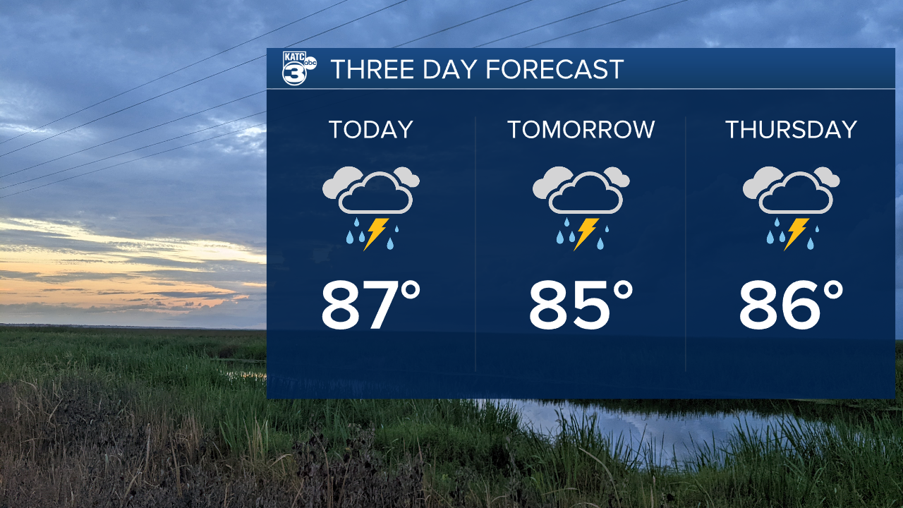
This is the pattern moving forward through the rest of the week with very little change expected.
It may be slightly drier by the weekend but that isn't saying much and I'd expect there to still be some showers.
Tropics remain pretty quiet out there and likely will through the rest of July at least.
