5 pm UPDATE:
——
3 PM UPDATE:
Acadiana is still on track for arctic air to move into the region next week.
Follow Meteorologist Breyanna Lewis and Meteorologist Rob Perillo for the latest updates.
———

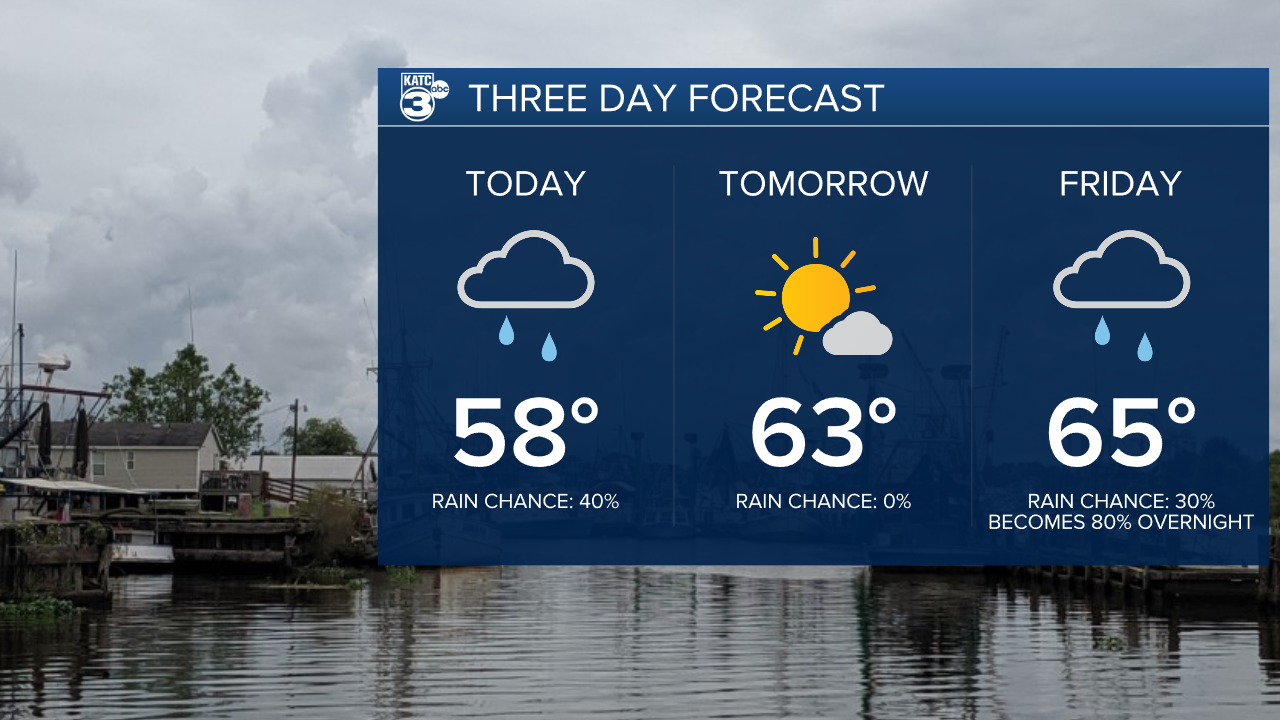
Clouds have returned to Acadiana after a fairly nice start to the work week, and the start of an absolute roller coaster of a forecast will kick off.
There's been a few showers moving through region this morning, and light passing showers will continue to slide across south Louisiana.
None of the showers are expected to be particularly impactful and it looks to be more nuisance rain than anything else.
Temperatures, in the meantime, will stick around in the upper 50s and with clouds lingering overnight those lows should stay in the low 40s.

We'll get a break from some of the rain and clouds with a nice day on tap for Thursday as sunshine makes a brief return and temperatures crawl back to average.
As mentioned though this will be short lived as clouds return on Friday with soaking showers expected to move through overnight into Saturday.
It does look like those showers will clear by dawn Saturday and the rest of the weekend will be relatively sunny.

Sunday will be the start in a sharp drop in temperatures and those with exposed pipes will want to take advantage of the weekend to get pipes wrapped up because it's increasingly likely we see an outbreak of cold weather.
An arctic air mass is expected to send temperatures well below freezing down into the mid to upper 20s for long enough to damage exposed pipes.
It should go without saying the vegetation should be wrapped up as well so get blankets around those citrus plants.
Highs next week will likely stay in the 30s and we may even struggle to get above freezing on Tuesday.

Models have started to come around on the thought that there may be some winter weather in store for Acadiana next week.
Remember that these kinds of systems are incredibly tough to pin down so don't get fixated on today's forecast.
Right now it looks like timing would be Tuesday afternoon/evening into Wednesday morning, although exact timing is impossible to pin down this far out.
This would mean that travel Wednesday morning could be hazardous with ice on roads, particularly bridges and overpasses.
As we go through the week and weekend we'll be able to start talking more specifics but now just keep it on your radar.


