
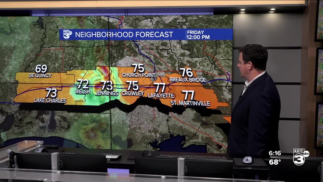


Daniel's morning forecast holds steady into Friday afternoon.
The SPC has kept us in the expected Flood Watch until 1 pm on Saturday. You can see those parishes in green. There is also a current Wind Advisory on-going due to gusty conditions ahead of the line of storms approaching. Lafayette Regional Airport has had observed gusts of up to 36 mph this afternoon.

To our west, in red, is a Tornado Watch, this area has more favorable atmospheric conditions, and has had a few spin ups, but nothing that has been able to sustain itself. This is currently set to expire at 7 pm on Friday.

Showers will begin arriving Friday afternoon with the heavier showers holding off until the late evening and overnight hours.
Rain isn't expected to be continuous and there will be breaks in the showers, however, those periods of rain are expected to be heavy.
The flooding threat will likely be highest overnight with the heavier showers but most of the flooding should remain localized to low lying road ways.
Models still hinting that most places will see between 1-3 inches of rain but the higher end totals seem to have ticked down slightly.
That being said isolated spots could still pick up 5 inches but you'd rather see models tick down then up.
As is typically the case with these systems it seems the highest rain totals will follow a narrow corridor but it's impossible to tell where that will be until we start to see it.
Embedded in the larger system will be some pockets of thunderstorms with an outside chance that one or two of them could be severe.
While the severe threat is on the low end we'll still be keeping a close eye out.
All models have different ideas and placements of the total rainfall, but stay within the same general idea that some areas can see totals of 5-7 inches at a maximum, with the rest being anywhere from 1-3 inches. It is impossible to pinpoint these locations as it's dependent on where the storms initialize.


Here is a rough estimate of rain chances over the next 7 days:


Showers will continue on and off through the day on Saturday and potentially Sunday as well. Models are still working out how this finishes playing out.
Storms return late Sunday night, however, into Monday morning and we're looking pretty unsettled for the first week of April.
