


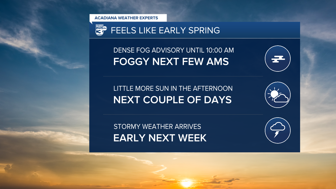
Dense fog remains Acadiana's most impactful weather this week, and once again we've got a Dense Fog Advisory for parts of Acadiana until 10:00 a.m.
Visibility at times could drop to a quarter mile so extra caution should be taken during Wednesday morning's commute.
Remember that fog drifts and changes so visibility can vary through out the morning from place to place.

Expect fog to linger into the mid morning hours, but should be lifted by lunch time.
Skies will be a little sunnier in the afternoon compared to the last few days and temperatures will remain well above average.
The high is expected to get around 80 degrees Wednesday which would tie our record high for the day.
Lows remain in the 60s and this period of spring weather will linger through the rest of this week.

This looks to be the pattern through the rest of the week and into the weekend with clouds returning to the area by early next week.
A front expected to come through on Tuesday will be our next big weather maker and could produce a round of showers and storms.
There's not a major drop in temperatures behind the front, but we will see the lows and highs return to their seasonal norms.
