4pm Update:
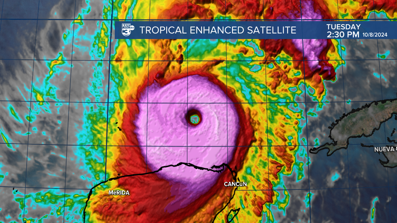
Milton has been upgraded back to category 5 status...

Major Hurricane Milton is expected to be a large storm with widespread impacts expected from coast to coast over a large part of the Florida Peninsula Wednesday night through early Thursday morning.

The intense storm is expected to encounter some upper atmospheric shear weakening Milton slightly while the mature hurricane will spread out to a large wind field at landfall.
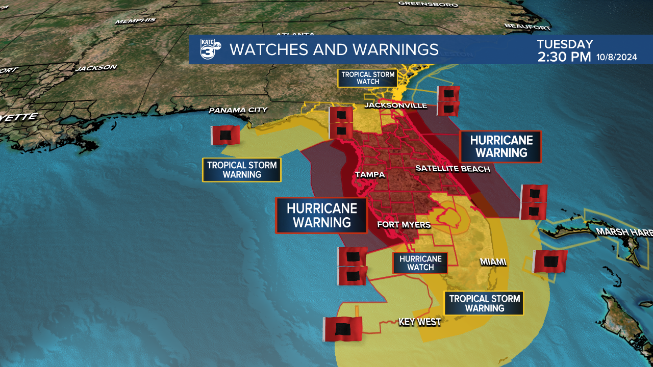
Widespread wind damage is expected to cross the entire peninsula with Hurricane Warnings in place for much of the region.

Milton will begin impacting the Florida West Coast later Wednesday evening into the overnight hours with the storm exiting the East Coast by midday Thursday.

In addition, Milton will likely bring a catastrophic and record-breaking storm surge across much of the western coast of the sunshine state...especially from the Tampa area on Southward to Fort Meyers...areas reeling from recent Hurricane Helene and Major Hurricane Ian in 2022.

Rainfall of 5-12 inches are expected with Milton along with the possibility of isolated amounts reaching 18".

Stay with KATC, the KATC Weather App and KATC Social Media for the latest on this dangerous storm.


