


Heat Advisories continue again Thursday with no change or break in the heat.
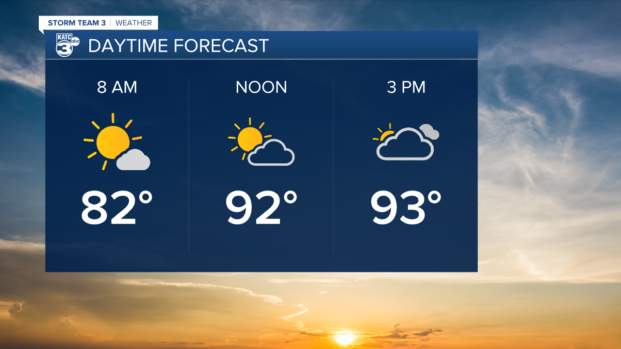
By now we've all memorized the numbers, highs in the mid 90s, heat index between 105-110, and it seems like those are the number we'll be dealing with again Thursday.
High pressure continues to dominate the area which is keeping our skies clear and bringing in the heat.
You can pretty reliably copy and past this forecast again on Friday with little change arriving in the pattern.
A few more spotty showers will be possible over the weekend but they'll remain mostly isolated and short lived.
A tropical wave remains a topic of conversation after a slight west drift in the models on Thursday.
Still a lot of uncertainty but even with the west shift activity should be confined to the eastern Gulf of Mexico.
