


It's finally here, the front that should finally push out the last bits of summer and usher in the fall season.
Let's keep in mind that it's still south Louisiana, we still have some very warm days ahead of us but there are no 90 degree highs or 70+ degree lows in the extended forecast.
We'll take it!
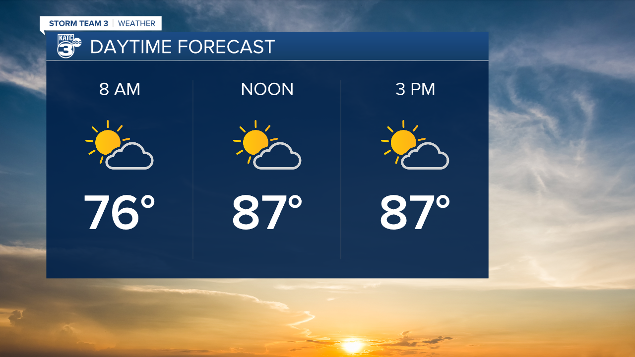
A few spotty showers will fire up in the evening as the front comes through, but predominantly it will be sunny through the day on Wednesday.
Temperatures will sit around 90 for one last day with a heat index in the mid to upper 90s before the moisture finally gets forced out.
Lows will start to drop consistently into the 60s starting overnight and sunny skies will be the main order of business for the foreseeable future.
Louisiana remains removed from any tropical impacts of Helene which is on track to make landfall along Florida's Big Bend this week.
There are obvious examples to the contrary and we still need to be alert but the further we get into October the harder it gets for Louisiana to see tropical activity as the fronts become more common.
Again, Delta immediately comes to mind, we're not out of the woods yet but we're on the back part of the season now.
