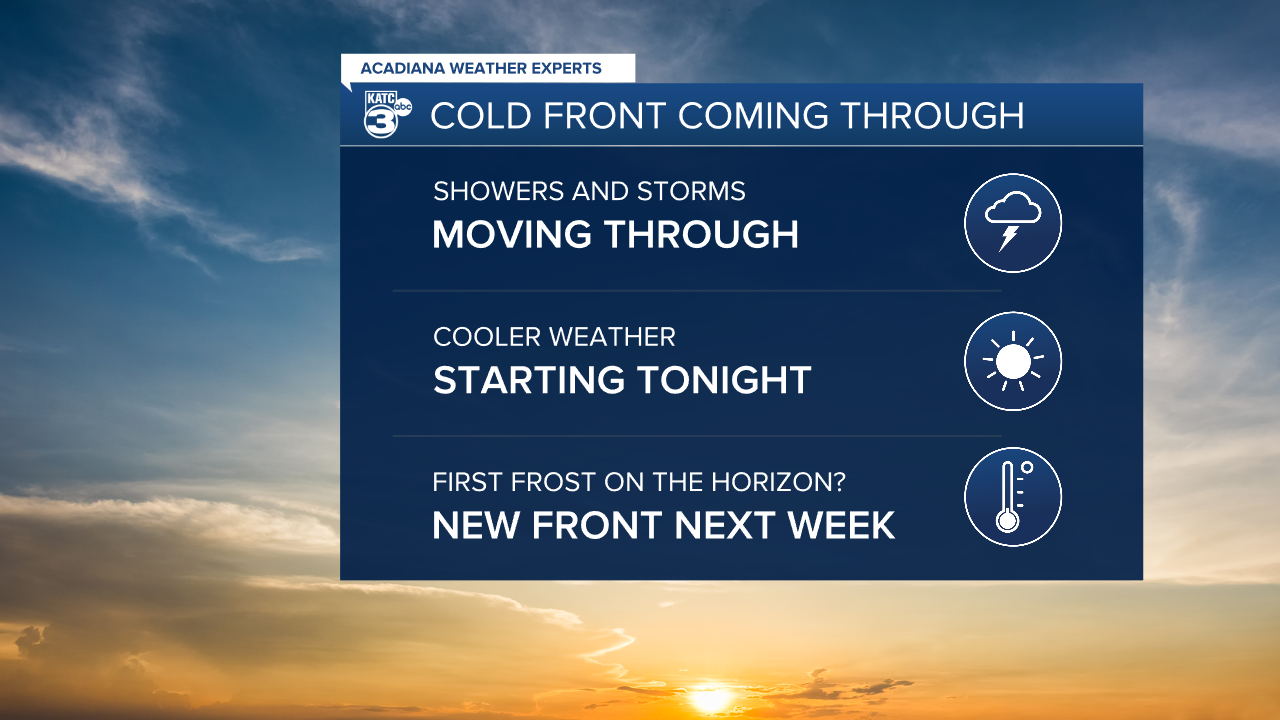
Showers and storms will be moving across Acadiana to start the day as our next front pushes across the area.
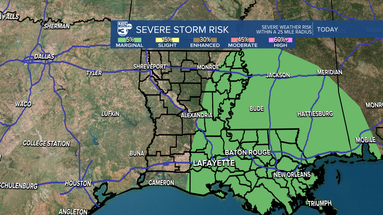
There's an outside chance that one or two of those storms produce some damaging winds so we'll monitor for severe weather but most of the dynamics look like they're more pronounced to our east.
If you're traveling east of the Atchafalaya Basin keep a close eye on the radar and be prepared for some stronger storms.

There will be a tight gradient on the showers Wednesday, and the further west you go you'll see a sharp drop off in rain chances, so west Acadiana may not see the same amount of rain as central and eastern parts of the area.
Rain totals as a whole don't look overly impressive, with most areas coming in between a half inch to an inch.
A few isolated downpours, however, could lead to higher totals increasing the chance for some very isolated flash flooding.
Skies will start to clear in the late afternoon as as the cloud deck dissipates it will allow temperatures to start to drop overnight.
Lows will be down in the 50s the next few nights and highs will remain in the low 70s with gusty winds from the north.
Expect a quiet period that will last into next week with our next front slated maybe a week from today.
This front could really bring in some cooler air and we may be talking about our first light frost for the end of next week.
That's obviously a little ways away but it's what we'll be monitoring over the next few days.


