A nice stretch of weather is ahead for Acadiana while the Mississippi and Atchafalaya rivers will be rising in response to the flooding rains to our north.

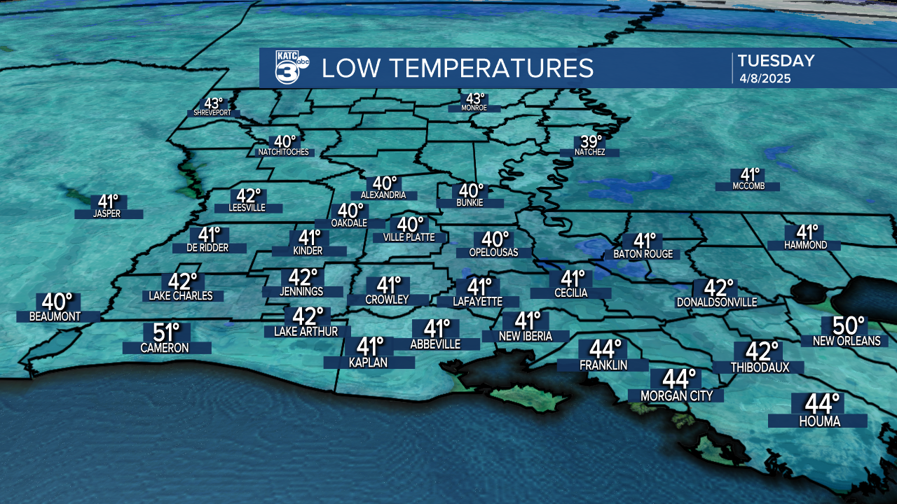
In the near term, it will be the coolest night in two weeks for Acadiana with temperatures dropping into the lower 40s by daybreak...the record of 33° set in 1939 will be safe.

High pressure and a dry upper flow will insure plenty of sunshine in the days ahead with a milder afternoon reaching the lower 70s is expected.

It won't be as cool for Wednesday morning, but it will still be chilly with lows in the mid-40s.

Sunshine with temperatures moderating into the mid-upper 70s are expected Thursday.

The forecast remains dry and warmer through the weekend into much of next week, although humidity will also by on the rise next week.
See the KATC 10 Day Forecast for the latest.
Meanwhile, thanks to the record rainfall and flooding to our north the highest local river levels since 2020 are expected...

A significant rise is forecast to travel down to the Mississippi and Atchafalaya Rivers over the next couple of weeks.

The Mississippi is expected to go into moderate flood stage at the Red River Landing within a week and max out roughly a week later.
Normally 30% of that water is diverted into the Atchafalaya River...thus the Basin will rise some 10 feet (near the I-10 corridor) in the next two weeks.

No word on whether the Bonnet Carré or Morganza Spillways will come into play yet, but experience dictates that the Bonnet Carré will probably need to relieve some of the high water coming Louisiana's way.
Fortunately, little additional rain is expected upstream and locally over at least the next week...but something that will need to be monitored into the month of May given antecedent levels that are anticipated.


