Scattered showers will continue this evening before ending during the overnight hours into Thursday morning.
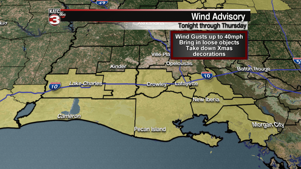
Once the rains stop winds will start to get breezy out of the south at 10-20 mph with gusts up to 30 mph.
A wind advisory has been issued for parish along and south of the interstate.

Due to the gusty winds make sure you tie down or bring inside loose items and it might be a good idea to take down the big Christmas decorations.
Thursday a line of strong to severe storms will be working from west to east across Acadiana from the late morning into the afternoon.
For latest timing of these storms check out our predictive radar here:
According to the Storm Prediction Center all of Acadiana is under a slight risk(15%) for a few storms to become severe with damaging winds up to 60 mph as the main threat but a couple isolated tornadoes will also be possible, along with some large hail.

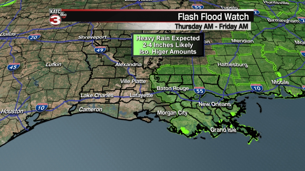
On top of the severe threat this system will also bring heavy rains to Acadiana with many spots getting 2-4 inches of rain.

Now depending on how slow this system is to clear out of the eastern half of Acadiana showers could continue through much of the evening.
If that happens those locations could see even higher rainfall amounts up to 3-6+ inches which could lead to flooding issues.
A flash flood watch has already be issued for parishes to the east towards New Orleans but I would not be surprised if Acadiana is placed under a flash flood watch as well.

Friday afternoon the front should finally push off to the East and we could even see some sunshine during the afternoon to help dry out the region with the help of a north breeze.
Unfortunately Saturday a stationary front will work off the Gulf and back over the region producing more showers.

A few scattered showers could linger into Sunday as the stationary front will still be in the area and temperatures will start to cool dropping into the mid 50s for highs.
Then on New Years Eve another system looks to move out of the Gulf and over Acadiana bringing with it another round of showers.

Right now models have the showers during the evening so hopefully it will be dry as you head out to ring in 2019.


