High pressure will continue to be in place out in the Gulf creating more sun filled days for Acadiana Sunday through Tuesday.
But as the high slides to the east a little and provides us a WSW flow temperatures will be warming up as highs will climb into the low to mid 80s and overnight lows will bottom out around the lower 60s.
Futurecast Temperatures
Our next front looks to arrive late Halloween into early Thursday morning.
With the latest European model run it looks like the rain will hold off for the most part until after midnight so fingers crossed trick-or-treating will be dry.

Widespread showers and a few storms look likely sometime between midnight and 9AM on Thursday morning.
However, this front is still several days out and that timing could change so here is a look at the latest European model run for each afternoon this week.
Once this front moves through Acadiana it does look like another round of cooler air will slide down into the region as highs Thursday and Friday will be in the upper 60s and lower 70s with lows dipping into the 40s.
Looking ahead to next weekend the cooler air will be sticking around with highs in the mid to upper 60s under mostly sunny to partly cloudy skies and lows in the 40s and 50s.
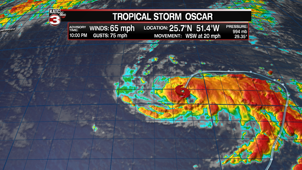
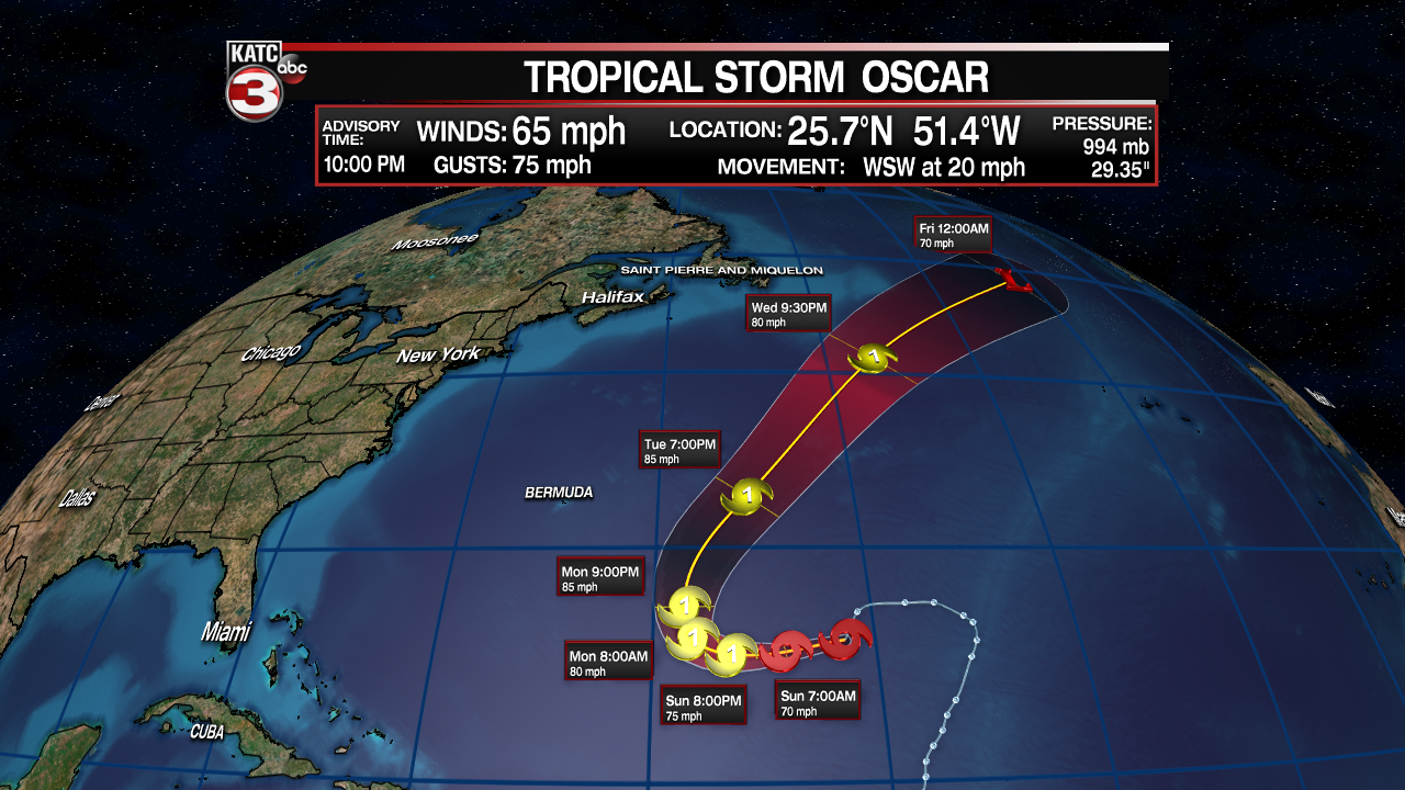
In the Atlantic Subtropical Storm Oscar is better organized and as of the 10PM update has become fully tropical in nature and is now just Tropical Storm Oscar.

Oscar is projected to strengthen into a hurricane by Sunday night but this storm should stay out in the central Atlantic and stay far away from land.


