Tuesday morning Subtropical Depression Leslie has merged with a frontal system moving across the north Atlantic becoming a post-tropical cyclone.

For the next 24-36 hours Leslie will move along with this frontal boundary off to the NE.
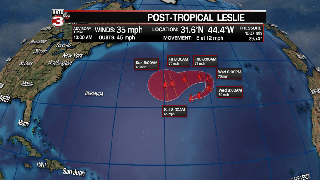
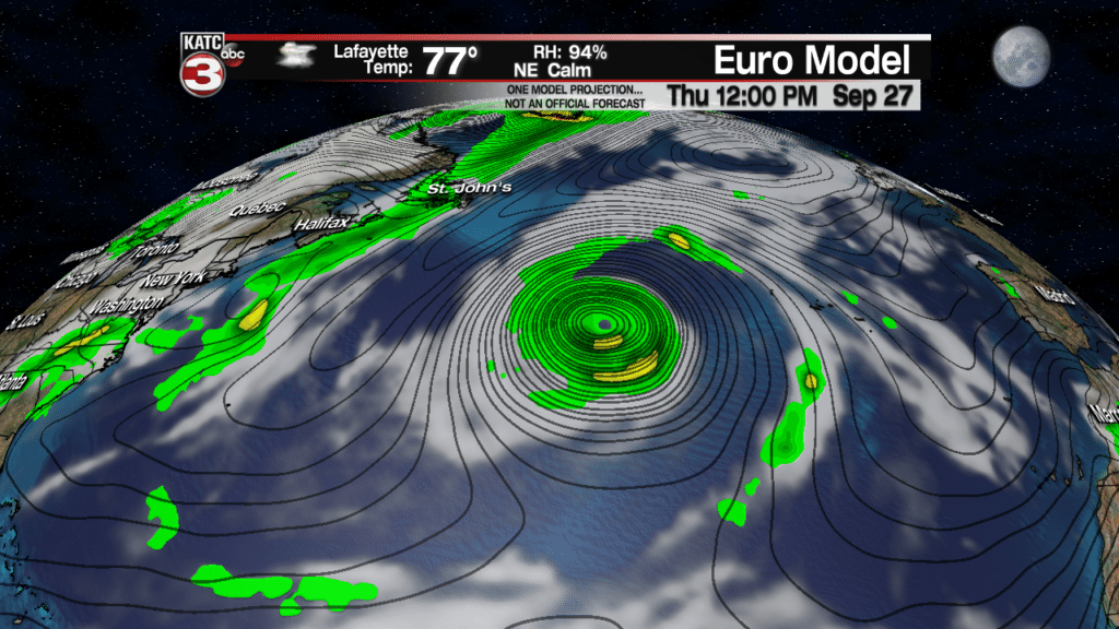
However, by Thursday the center of Leslie should break away from the front and start to develop subtropical characteristics again as it circles back to the SW.
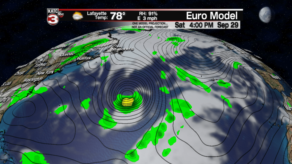
This weekend as Leslie slowly drops south over warmer waters the system could strengthen and could become a hurricane.
Into next week the models project Leslie to begin to head back to the NE for Europe where it will weaken and probably turn post tropical again once it moves over the north Atlantic.
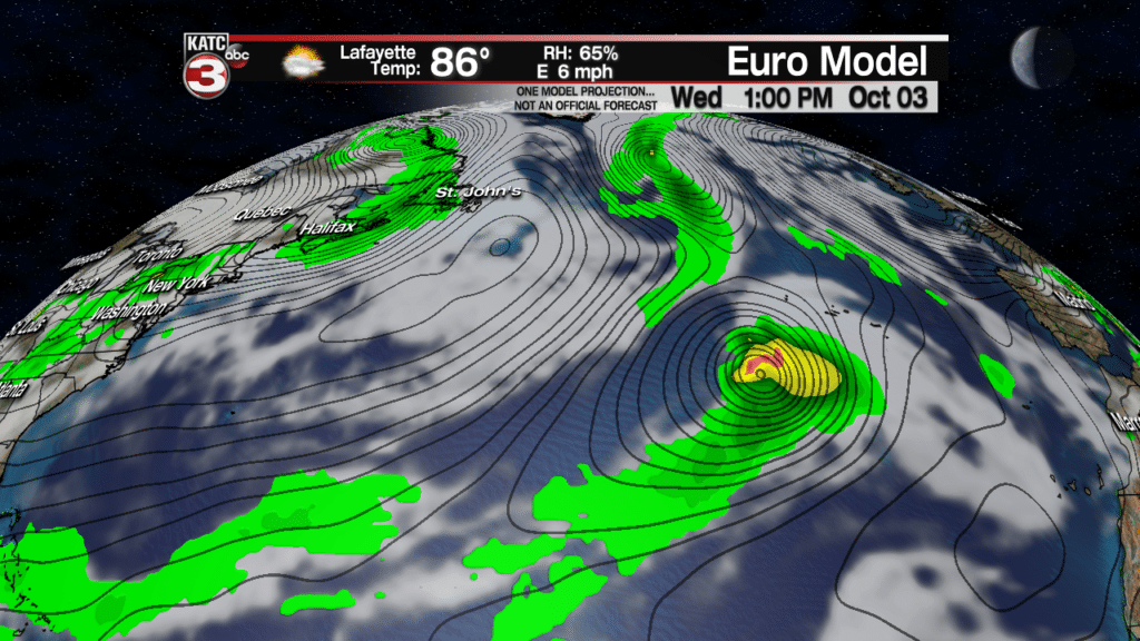
Thankfully Leslie will stay out to sea and only be an issue for ships and the fishes.
Also, in the tropics the National Hurricane Center is monitoring a couple disturbances but both only have a medium chance of becoming tropical systems.
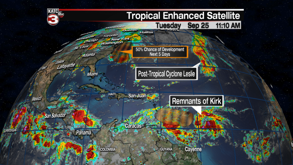
The first is a cluster of showers and thunderstorms just off the East Coast near the Carolinas.
This disturbances is running out of space and time to become a tropical system but will still create scattered showers and storms for coastal areas of North and South Carolina along with Virginia Beach on Tuesday and Wednesday.
The final disturbance the center is watching are the remnants of Kirk.
This area of showers and thunderstorms continues to race across the southern Atlantic and has a 60% chance of redeveloping in the next 48 hours as it heads towards the Lesser Antilles.
Either way this disturbance will bring heavy rains and gusty winds to the islands but once it moves into the Caribbean it should fall apart as it encounters strong wind shear.

