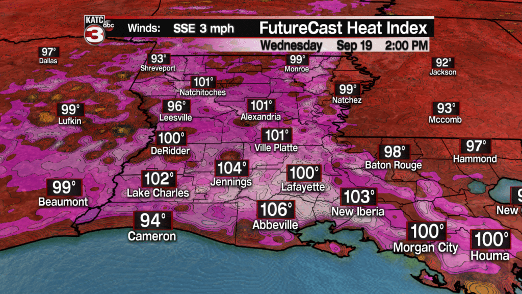
As an upper level high slides over the region the next couple days our weather will remain unseasonably hot and steamy.
Highs on Wednesday will top out in the mid 90s with heat indices pushing into the triple digits for most of the afternoon.

Like the past couple days we could have a few pop-up showers and storms fire up during the peak heating of the day but they should not last long and will not really help to cool things off much.

Thursday afternoon we could have a slightly better chance(30%) for isolated showers and storms during the afternoon as winds flip back out of the south off the Gulf allowing the sea breeze to move further inland.
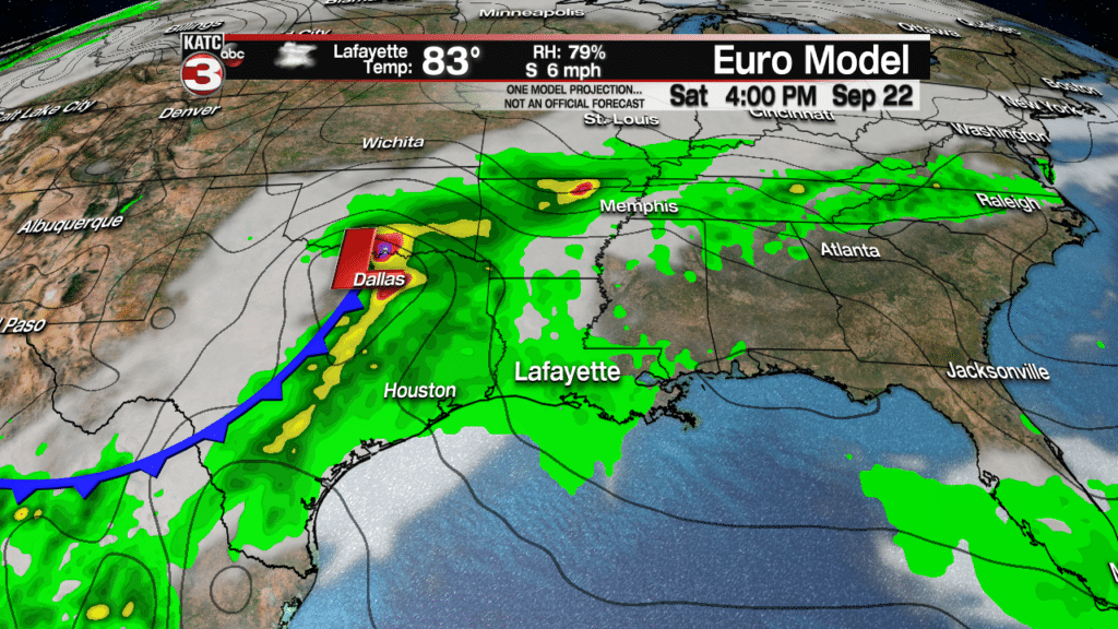
By Friday the upper level ridge will begin to break down and move off to the east as a tough builds over Texas.
Along this tough a couple shortwave lows will develop producing heavy rains over East Texas this weekend.
What this means for us is our rain chances will be going up to about 50-60% Friday and Saturday as these systems pull more moisture off the Gulf and over South Louisiana.


So, high school football and those heading out the the UL or LSU football games this weekend will want to pack the rain gear just in case as you might have to dodge a few showers and storms, especially during the afternoon for tailgating.
Sunday and Monday the shortwaves will begin to lift up into the Missouri and Ohio Valley lowering our rain chances down to 30-40% as we will go back to the daily sea breeze showers and storms.

Looking ahead to next Wednesday the models are starting to show a decent cold front trying to work down towards the Southeast which will bump our rain chances back up to 50-60% for scattered showers and storms.

Unfortunately the models project this front to wash out right over top Acadiana meaning we really won’t see much of a cool down but with a fair amount of clouds and a northerly breeze highs might hold in the mid 80s.

