Overcast skies on Saturday created a relatively nice day across Acadiana as it held temperatures in the low to mid 80s and prevented showers from holding together as they tried to move onshore.
Tonight clouds should begin to decrease leading to partly sunny skies on Sunday.
With times of sunshine on Sunday that will heat temperatures back into the lower 90s and create the instability we were lacking Saturday to fire off a 40% for scattered showers and storms during the afternoon.
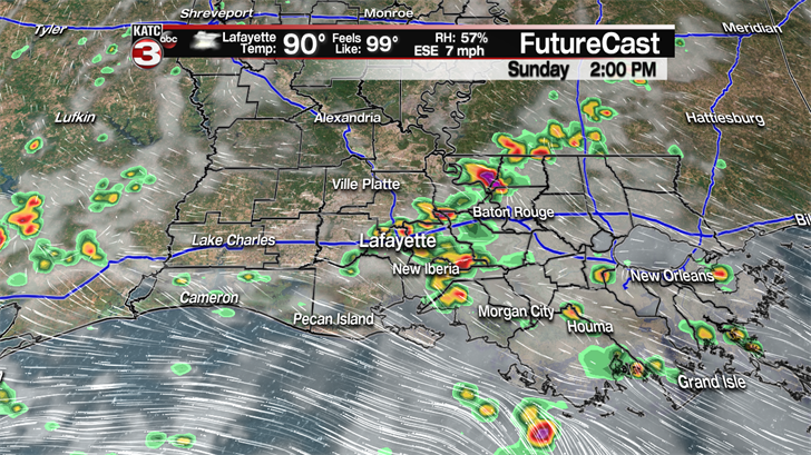
Some of these storms could be on the strong side with heavy downpours, lightning and gusty winds up to 30 mph.
Heading back to work Monday and for much of the first half of the work week we will be back to a typical summer-like weather pattern with hot and humid conditions as highs will be in the low to mid 90s and feel like temperatures in the triple digits.
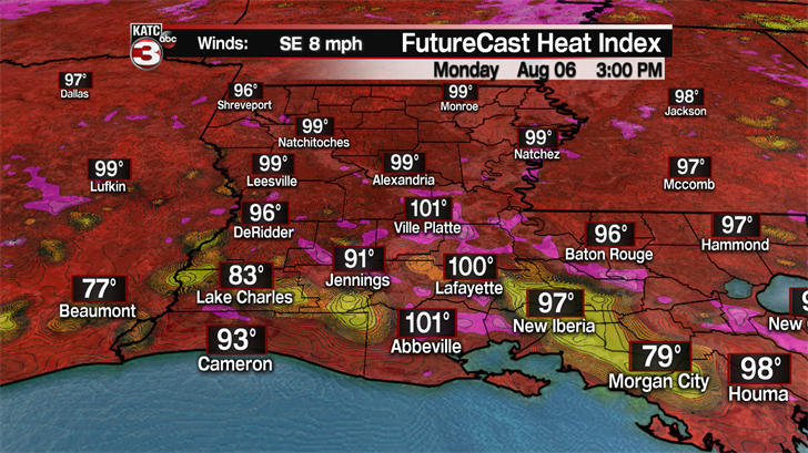
For the most part we will be dry Monday through Wednesday but with the daytime heating and gulf moisture in place over Acadiana we will have a 20-30% chance for pop-up showers and storms to develop in the afternoon each day.
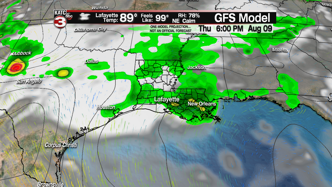
Rain chances still look to gradually go up towards the end of the work week as a frontal boundary and upper level shortwave tries to work into the region.
So, Thursday afternoon/evening we will have a 40% for scattered showers and storms.
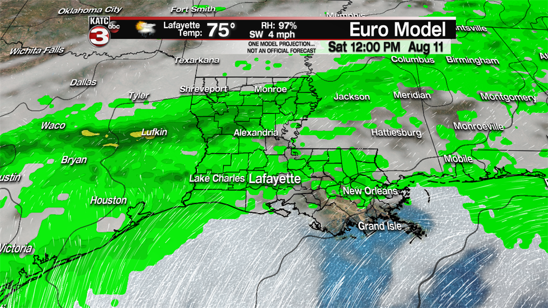
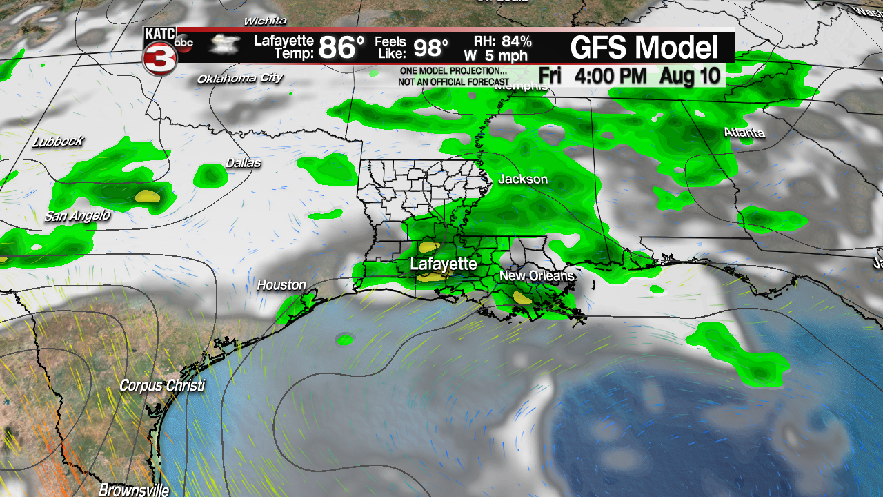
Friday looks to have the best chance(60%) for widespread showers and storms as the systems will be just about right on top of Acadiana.
A few showers could then linger into Saturday morning before things clear up and we return to typical August summertime weather for the rest of the weekend.