Enjoy the dry air for one more night as dew points are in the upper 60s and lower 70s allowing temperatures to drop below average into the lower 70s.
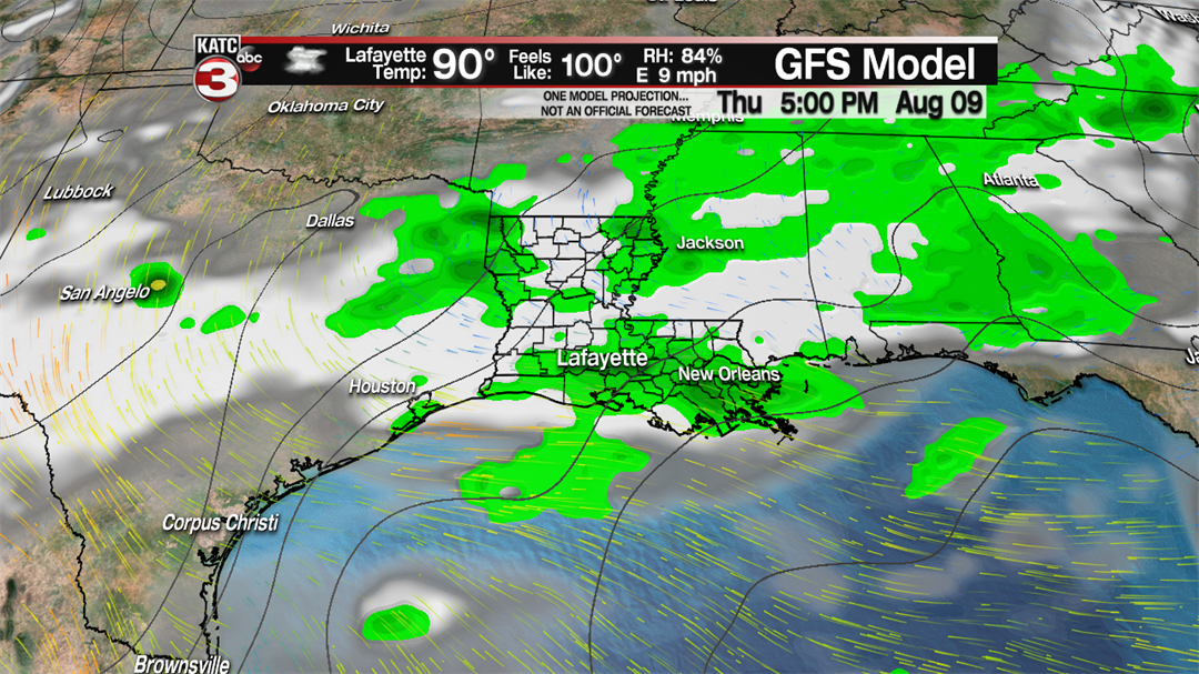
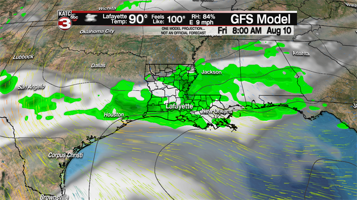
Friday afternoon the stationary front that has been separating the dry air from the humid air just to our east will wash out and the humid air will work back over Acadiana.
With the additional moisture over the region we will have about a 40% for scattered showers and storms during the afternoon and evening, so make sure you take the umbrella with you on Friday.
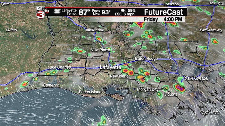
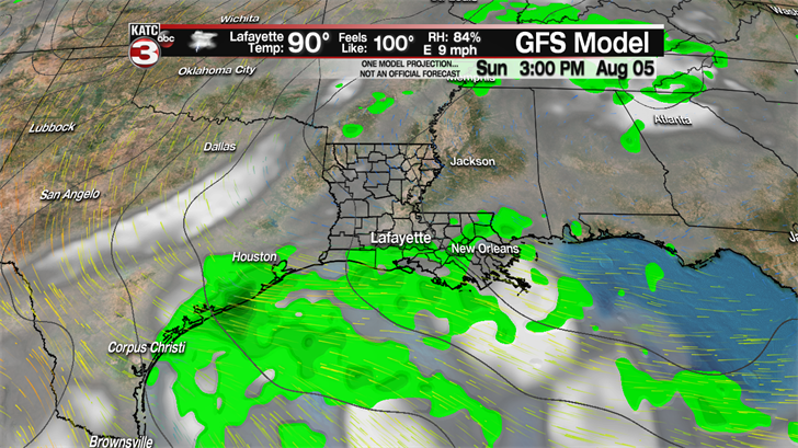
This weekend if you have outdoor plans or hope to get the grass cut you are going to want to try to do it in the morning as we will have about a 50-60% chance for scattered showers and storms both Saturday and Sunday afternoon.
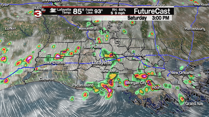
Now neither afternoon will be wash out but the showers that do develop will be the typical summertime rains that last for 30 minutes to an hour and could produce some heavy rains and frequent lightning.
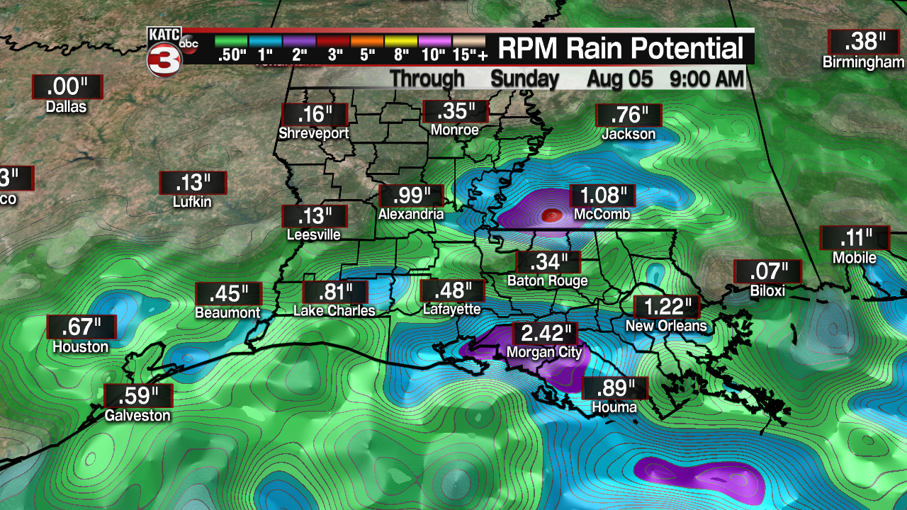
Rainfall totals look to be around a half inch to an inch through Sunday so widespread flooding will not be a concern but following a heavy downpour there could be ponding on the roadways in the normal spots.
Moving into the first half of next week we return to a normal August pattern with hot and humid days as highs will be in the low to mid 90s with heat indices back into the triple digits.
Also, we will have a 20-30% chance for a few isolated showers/storms each afternoon but for the most part we could have some dry weather.
Then going into next Thursday and Friday rain chances look to go up again to 40-50% as a frontal boundary works it way down into the Southeast.