The tropical wave we have been tracking for the past week has finally made its way into the western Gulf sending us rounds of heavy showers for Father’s Day.
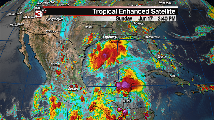
As the tropical wave slowly works to the west towards the Texas coast more of these bands of showers and storms will move off the Gulf and over Acadiana through the overnight hours and continue Monday morning.
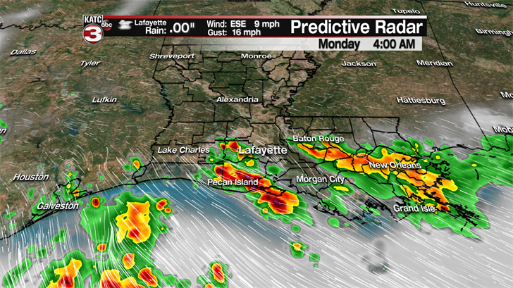
We might get some breaks throughout the day on Monday but expect skies to remain rather cloudy and humid as highs will hold in the mid 80s.

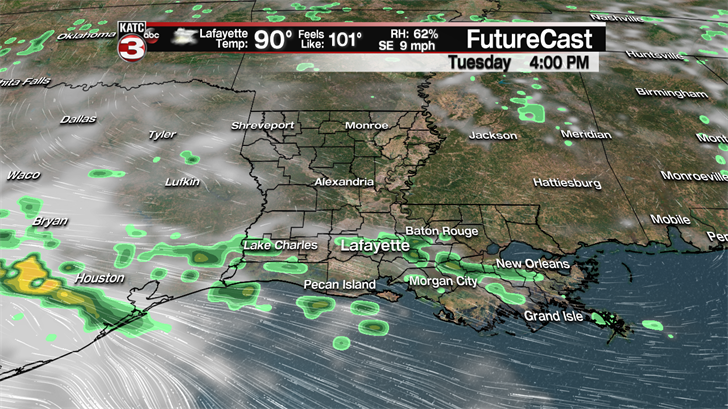
By Tuesday most of the tropical moisture will be located down by the southern Texas coast but we could still see some scattered showers and storms develop during the afternoon with the heating of the day as our atmosphere will still be rather juicy.
In total most communities will see about a a half inch of rain over the next couple days but as we know these tropical showers can produce very heavy rains and if they last a while isolated spots could pick up 1-3 inches creating puddles on the roads but I am not expecting any real flooding concerns.

A bit more sunshine will return across Acadiana on Wednesday as we start to dry out but I won’t rule out a few hit or miss showers and storms popping up throughout the afternoon in typical summertime fashion.
Towards the end of the work week high pressure will start to build back over our region causing temperatures to heat up into the low to mid 90s with triple digit heat indices returning and rain chances dropping down to just 20% for Thursday and Friday.
The sunshine and hot conditions should roll right on into the weekend so it looks to be a great opportunity to hit the pool or beach to try to cool off.
Going into the following week rain chances will begin to go back up slightly to about 30% for isolated showers Tuesday and Wednesday afternoon.
