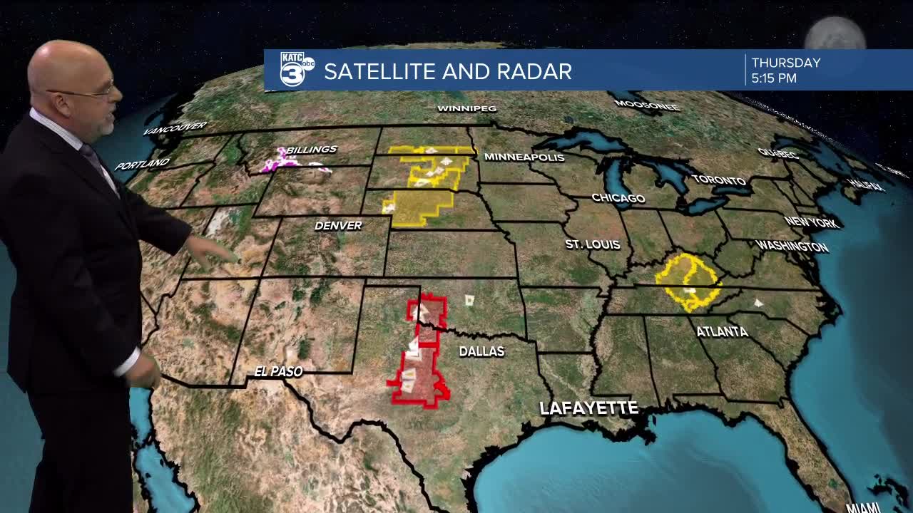
Thursday afternoon Update from Rob:
No surprise today that NOAA's forecast for Atlantic Tropical Season is for an extremely busy one.
Citing record sea surface temperatures, a developing La Niña, which will make for less upper atmospheric shear across the Caribbean, light Atlantic trade winds, and an active West African Monsoon leading to more tropical wave candidates, as factors for their top shelf forecast.
Not only are the Atlantic surface temperatures off the charts, but the depth of that heat, which translates to oceanic heat content, is also way above the norm in the Tropical Atlantic including the Main Development Region (MDR), Caribbean & Gulf Of Mexico, with more available potential heat energy than we saw before the 2005 season!
It remains impossible to tell where storms are going to go, but with the Caribbean looking more vulnerable to tropical activity this year, this will also probably mean more Gulf of Mexico, Central America and SE US threats could be in the cards this year.
Busy seasonal forecast or not, it only takes one...
Latest Tropical Graphics:
—————————————————————————————————————-
Quiet weather will continue across Acadiana as we inch closer to the holiday weekend.
Temperatures will continue to sit in the low 90s with plenty of sunshine over the next few days.
Winds will be out of the south around 10-15 mph with gusts a little stronger which will help keep things from feeling too sticky.
The pattern will remain quiet through into next week although pop up showers look like they'll be more common after the weekend.
There's not major systems standing out but we're getting to the time period of daily rain chances and we'll start running with a pretty constant 20-30%.
Any one with travel plans won't have to worry about weather impacting local travel and driving around the Gulf Coast shouldn't be too much of an issue (weather wise, anyway, traffic will be a nightmare still).


