


TONIGHT: Mild and cloudy
SATURDAY: Warm & breezy... Storms late
DISCUSSION
Welcome to the weekend.
It'll sort of be weather whiplash this weekend with spring conditions Saturday, followed by winter on Sunday.
Mostly, warm and breezy conditions are on the way for Saturday.
Highs will top out near 80 degrees.
Southerly winds will come in around 10-15mph.
A few isolated "streamer" showers will be possible throughout the day, but best rain chances will hold off until the evening hours with the front (8-11pm).

There is a low-end risk of a few severe storms—-damaging winds being the primary threat.

However, the risk is going to be a little greater for areas to our north.
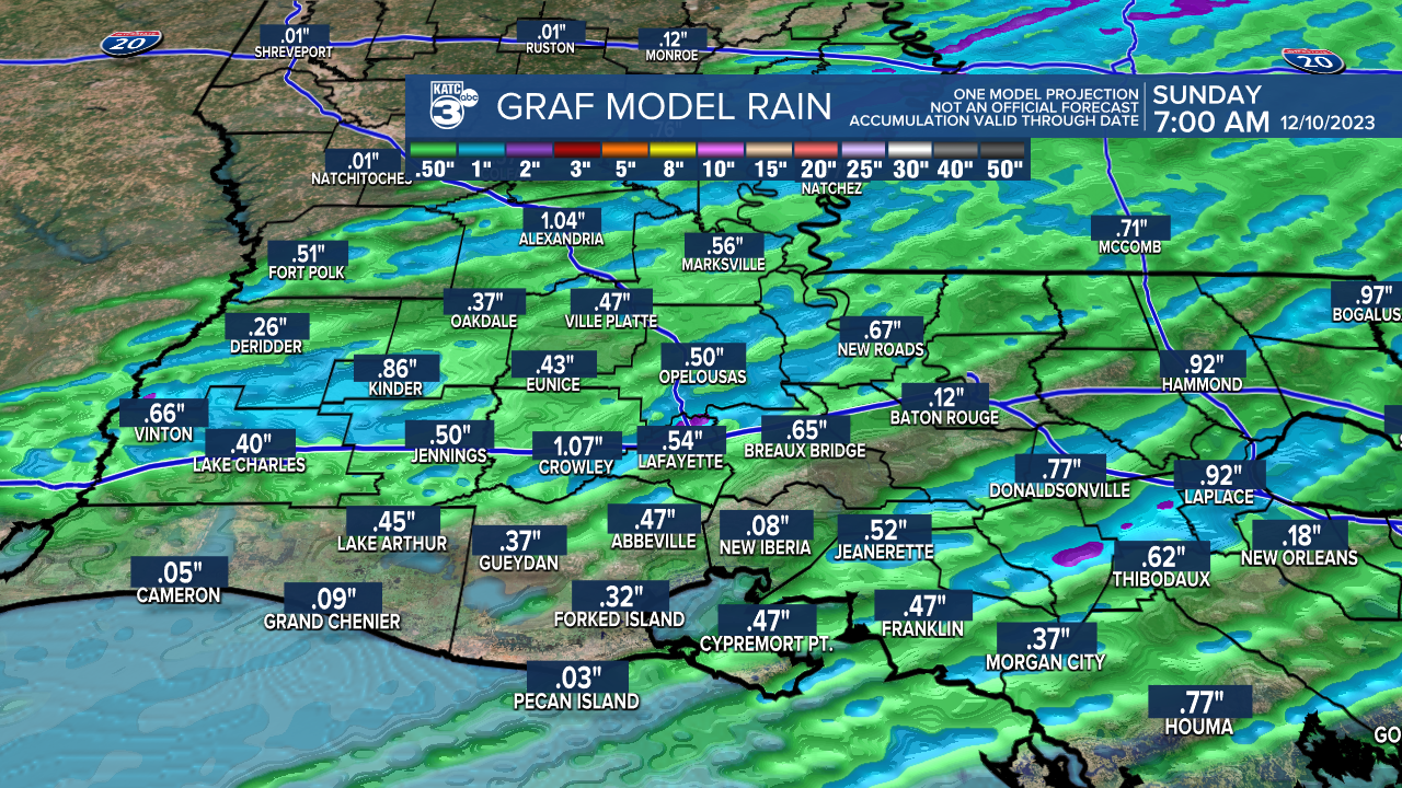
Do not plan on a whole lot of rainfall as activity is going to be moving along quickly west to east.
Most areas will pick up less than 0.25-0.50".
Behind the front, we'll be turning sharply colder into Sunday as skies clear.
Plan on a start in the 40s followed by afternoon highs in the mid-upper 50s on Sunday under full sunshine.

Cold conditions and perhaps a patchy frost come Monday morning as we see lows dropping into the mid-30s... BRRR!
Cool afternoons will stick around for the better part of next week.
Have a great weekend!
------------------------------------------------------------
Stay in touch with us anytime, anywhere.
To reach the newsroom or report a typo/correction, click HERE.
Sign up for newsletters emailed to your inbox. Select from these options: Breaking News, Evening News Headlines, Latest COVID-19 Headlines, Morning News Headlines, Special Offers
