


TONIGHT: Chilly & quiet
THURSDAY: Scattered showers, some storms late
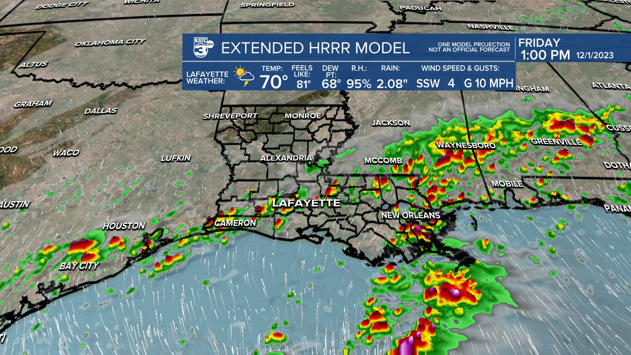
DISCUSSION
Not as cold, but still chilly tonight as lows drop into the upper 40s to lower 50s.
Plenty of clouds Thursday as our next frontal boundary approaches from the northwest.
Scattered showers will be on the increase throughout the day with highest rain chances arriving for the afternoon and evening hours.

A few storms will also be possible heading into the evening as low-level instability increases across the region.
There is a low-end risk of severe storms, although the risk is slightly higher for areas to the west.

Still, we'll keep an eye on the activity for you.
The front will become nearly stationary heading into Friday and Saturday.
As a result, the pattern will remain unsettled and occasionally wet.
A decent soaking of a couple inches of rainfall will be possible for some.

Plan on elevated rain chances to stick around thru late Saturday before the front finally clears the area Sunday.
Thereafter, cooler and drier air will filter in for the end of the weekend and start of next week.
Have a good one!
------------------------------------------------------------
Stay in touch with us anytime, anywhere.
To reach the newsroom or report a typo/correction, click HERE.
Sign up for newsletters emailed to your inbox. Select from these options: Breaking News, Evening News Headlines, Latest COVID-19 Headlines, Morning News Headlines, Special Offers
