It's another week, and another potential round of severe weather here in Acadiana.
A robust front is going to be moving through the region on Tuesday morning, sparking a line of strong thunderstorms.
Acadiana seems to be sitting between an Enhanced and Slight Risk (Level 3/5 and 2/5) with storms moving into north Acadiana just before day break, before getting to the I-10 corridor by commute time.
The biggest threat is going to be the possibility for some damaging wind, but along the frontal boundary could produce some small spin-up tornadoes like we've seen over the last couple of events.

The storms should move through fairly quickly and by lunch time the weather should be getting much quieter, and clouds clearing by the evening.
This is going to open the door for a burst of cooler air for the rest of the week, temperatures are going to drop down into the low 70s and nights will be in the 40s.
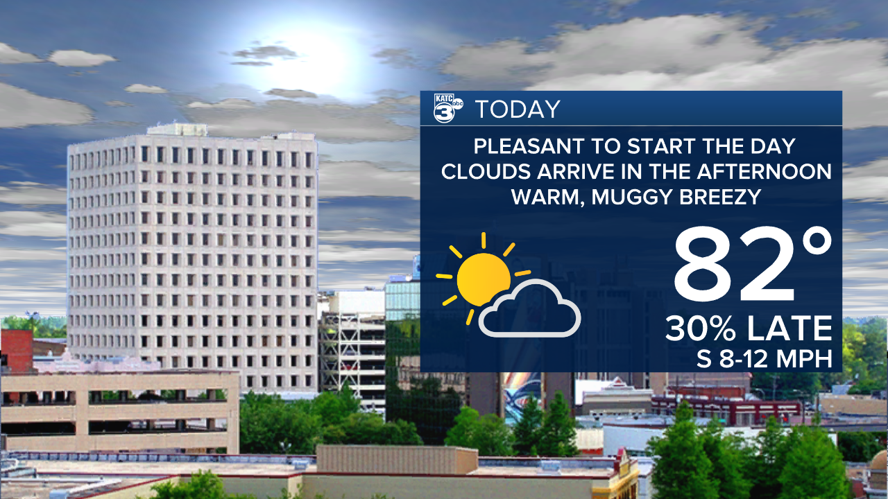
In the meantime we will set the stage for that potential severe weather on Monday with moisture arriving on a steady breeze from the south.
Temperatures will make it into the low 80s by the afternoon with clouds building through the rest of the day, and cloudy skies by the time the sun goes down.

------------------------------------------------------------
Stay in touch with us anytime, anywhere.
To reach the newsroom or report a typo/correction, click HERE.
Sign up for newsletters emailed to your inbox. Select from these options: Breaking News, Evening News Headlines, Latest COVID-19 Headlines, Morning News Headlines, Special Offers


