


A HEAT ADVISORY will be in effect across Acadiana on Monday as dangerously hot conditions settle in.
After a start near 80° Monday morning, readings will push into the mid-upper 90s by the afternoon.
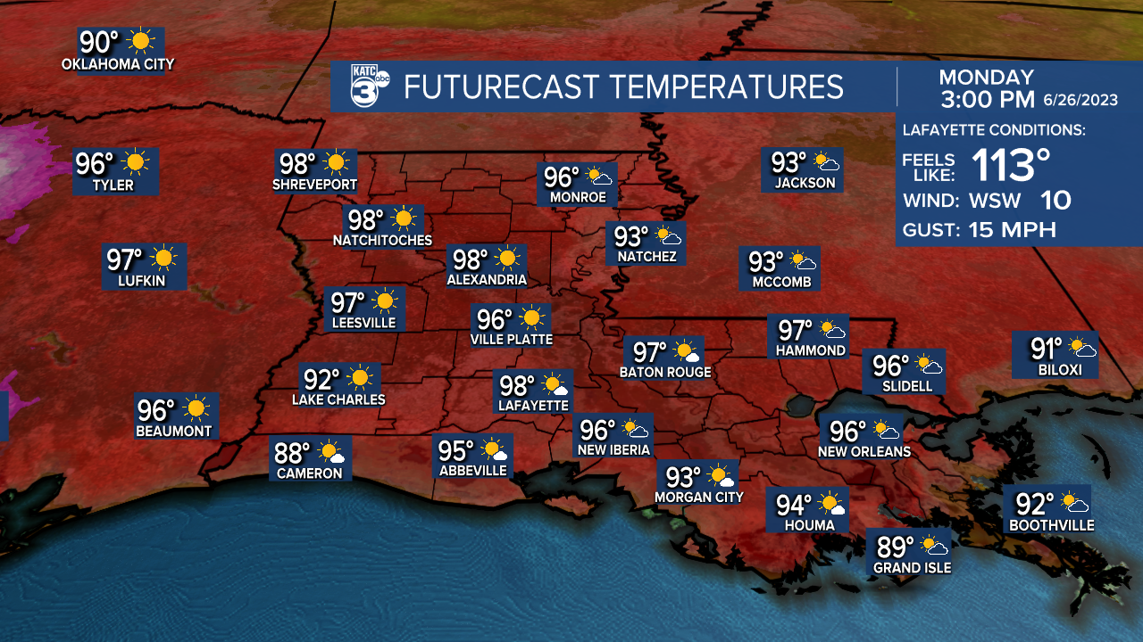
Some cloud cover in the morning, will give way to a mostly sunny sky into the afternoon.
A southwesterly wind will come in at around 6-12mph.
Unfortunately, the high heat will stick around all week long.

Plan on highs in the upper 90s to lower 100s each afternoon.
Heat indices will settle into the 110°-120° range, so be sure to practice proper heat precaution techniques.
Furthermore, rain chances will remain slim to none.
It looks to remain quite hot through next weekend as well.
However, we should see a little break in the pattern with slightly better rain chances by early next week.
Have a great week!
TROPICS
Tropical Storm Cindy is expected to weaken over the open Atlantic in the next couple of days.

Outside of Cindy, the tropics are quiet at this time.
------------------------------------------------------------
Stay in touch with us anytime, anywhere.
To reach the newsroom or report a typo/correction, click HERE.
Sign up for newsletters emailed to your inbox. Select from these options: Breaking News, Evening News Headlines, Latest COVID-19 Headlines, Morning News Headlines, Special Offers
